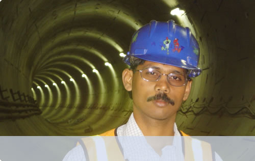
By employing an integrated desktop study approach, UTKAL SURVEY LINE identifies potential route problems before getting near the water. This saves time and money by ensuring the safety of the transmission cable when it is installed.
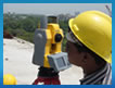
UTKAL SURVEY LINE's strength is the ability to provide multi-beam bathymetry charts, seafloor imagery and geological interpretation from water's edge to full ocean depth. Its capability to present data in near-real time facilitates rapid cable or pipeline route selection and alignment sheet delivery.
During the critical stage of seafloor analysis, good data and visualization systems are essential to the route engineer. UTKAL SURVEY LINE’ route planning team works closely with the route engineer so that nothing is left to speculation. The final product is tailored to individual needs, ranging from a conventional paper chart. UTKAL SURVEY LINE's data collection and geological analysis team(s) ensure clients' route engineers have the information they need in optimal format to provide maximum protection to the cable or pipeline.
|